Drone Technology: Utilizing Aerial Targets for Precise Mapping
- Hudson Jace
- Aug 9, 2024
- 2 min read

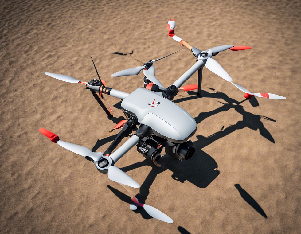
In the realm of aerial surveying and high-altitude mapping, the utilization of drone technology has revolutionized the way data is collected and analyzed. One crucial component that plays a significant role in ensuring precision and accuracy in this process is the use of aerial targets for mapping known as Ground Control Points (GCP).
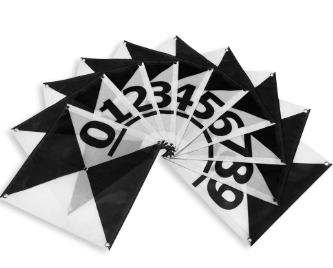
Aerial targets, such as GCP markers, are strategically placed on the ground and act as reference points for drones during mapping missions. These markers are essential for correcting distortions that may occur due to various factors like elevation changes, camera lens distortion, and GPS inaccuracies. By using GCP markers, surveyors can enhance the overall quality and reliability of the data collected by drones.
key advantages:
One of the key advantages of using aerial targets is the ability to achieve precise georeferencing. This means that the captured aerial imagery can be accurately aligned with real-world coordinates, allowing for highly detailed and accurate maps to be created. This level of precision is especially valuable in industries such as agriculture, construction, and land development, where accurate measurements and assessments are crucial.
Incorporating GCP markers into drone mapping missions not only improves the quality of the data but also saves time and resources. By providing a clear point of reference for the drone, surveyors can streamline the post-processing phase and reduce the likelihood of errors in the final deliverables. This ultimately leads to more efficient workflows and better outcomes for projects of all sizes.
Overall, the use of aerial targets for precise mapping with drones is a game-changer in the field of aerial surveying. By leveraging this technology, businesses and organizations can take advantage of highly accurate and detailed mapping data to inform their decision-making processes and drive success in their respective industries.


Comments